Ceremonial center
A surrounding wall defines the formal core. Use the walled plaza, pyramids and platforms to understand where public or ceremonial activity concentrated.
History guide
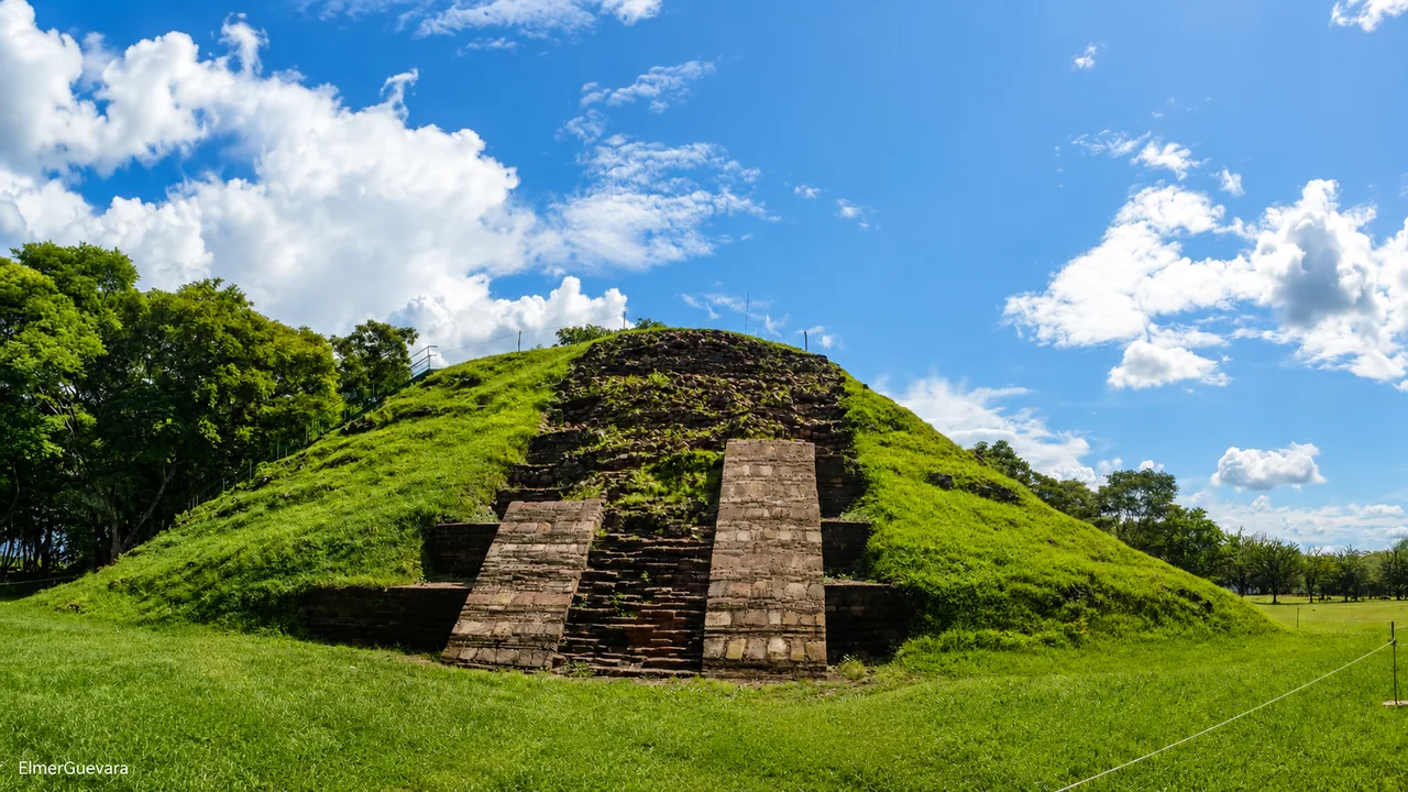
A wide, open archaeological city where the museum, walled plaza, pyramids and former living areas make more sense together.
Photo: ElmerGuevara
Is it right for your day?
Cihuatán suits travelers who enjoy walking through a large site and imagining how a whole city once worked. The museum, walled ceremonial center, acropolis and residential district reward curiosity more than a quick photograph. It is near Aguilares in San Salvador Norte, so plan it as a real outing from San Salvador rather than an improvised stop on a western route.
Reference starting point: El Salvador Travel official listing.
Visual guide
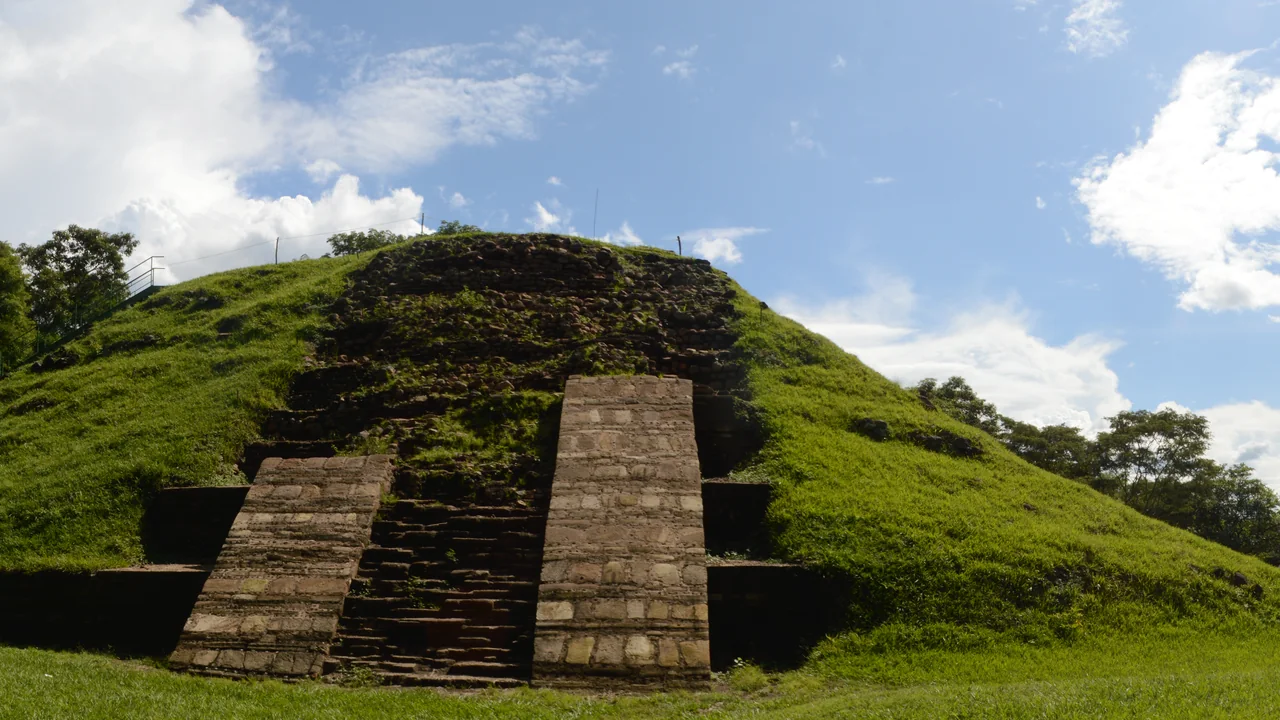
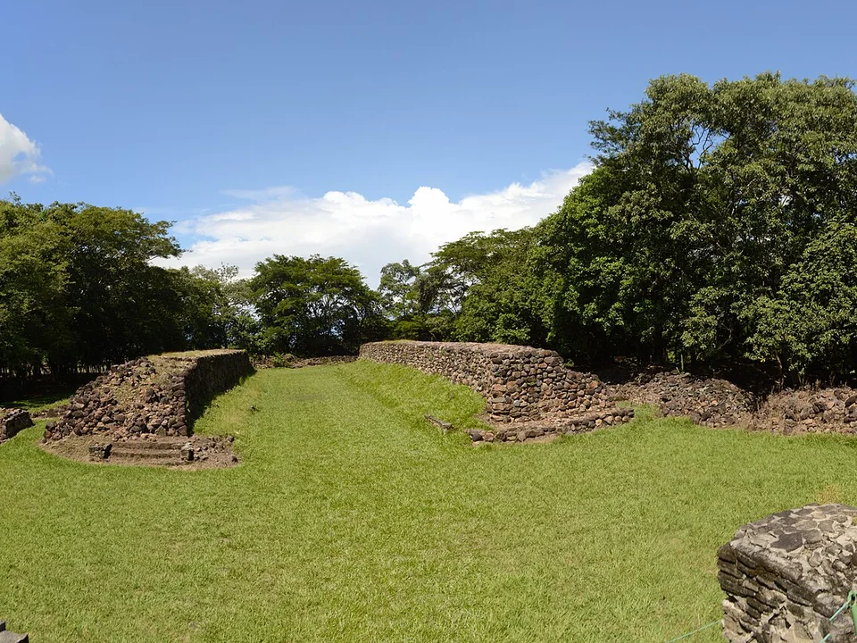
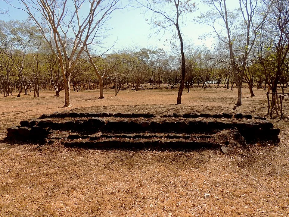
The pyramid is the most conspicuous structure, but leave time for the ball court and the lower remains spread through the woodland.
Read the city
The official tourism description divides Cihuatán into three areas: the ceremonial center, the acropolis, and the residential district. Together, they show how public spaces, elite residences, and ordinary homes formed a city.
A surrounding wall defines the formal core. Use the walled plaza, pyramids and platforms to understand where public or ceremonial activity concentrated.
The official listing describes this as the area associated with nobles. Notice how its position differs from the wider settlement.
This broader area represents where much of the population lived. It is the key to imagining Cihuatán as an inhabited city rather than an isolated ceremonial complex.
A city-sized archaeological walk
Cihuatán covers a much broader landscape than a single photogenic pyramid. The official guide describes a ceremonial center, acropolis, residential district, walled plaza, archaeological trail, and site museum across a 42-hectare park. You can see the shape of a city here, so allow time to walk and prepare for the sun.
Cihuatán deserves a morning of its own. Arriving early with comfortable shoes and water leaves you time for both the museum and the scale of the site.
Estimated drive from San Salvador
37.7 km · 39 min
Map estimate to Cihuatán. Traffic, rain, stops, parking, and the final approach can all add time.
Estimated drive from Suchitoto
24.1 km · 43 min
Map estimate to Cihuatán. Traffic, rain, stops, parking, and the final approach can all add time.
One way to enjoy it
The museum gives the ruins context before you head onto the trail. From there, take the park at a pace that suits the heat.
Arrive early
Confirm opening and begin before the strongest heat. Carry water, a hat, sun protection, insect repellent, and footwear suited to uneven paths.
Read the city
Walk through the ceremonial center, walled plaza, acropolis, and residential areas rather than stopping at one structure for a photograph.
Pause before driving
Pause at the picnic area or stop for lunch before continuing to Suchitoto or San Salvador.
Save these places
Cihuatán entrance
The park sits off the Troncal del Norte near Aguilares; use the exact archaeological-site pin.
Aguilares services
Plan fuel, food, and cash before or after the site rather than expecting a full visitor complex.
Next overnight
Suchitoto looks close on the map, but the drive takes longer than the distance suggests.
Find your bearings
Open the map to see the approach along the Troncal del Norte and the road to Suchitoto. Google receives data only after you choose to load it.
These drive times were checked on 11 August 2026. Traffic, rain, stops, parking, and the final approach can add time, so check the live route again before you leave.
Local orientation sketch, not a Google Maps preview. Google Maps loads only after you open it.
Sources and live checks · reviewed 11 August 2026
Place information: Official El Salvador Travel destination guide. Map point: OpenStreetMap destination pin. Drive-time method: How OSRM calculates routes. External sources open in a new tab.
More to explore
Photo gallery
See the pyramid and ballcourt structures. Browse one photo at a time with Previous and Next.
Loading photo gallery…
Good to know
Answers about the remote archaeological park, current access, heat, and travel time.
Not if you want the visit to make sense. The museum, archaeological trail, walled ceremonial plaza, acropolis and residential district reveal different parts of the city. Arriving late only to photograph one pyramid misses most of that story.
Plan it as a dedicated northbound outing from San Salvador. Save the destination offline and arrange both directions before leaving, especially if you will not have your own car.
Bring water, a hat, sun protection, insect repellent and shoes with reliable grip. Recheck current hours, museum and trail access, weather and on-site services before setting out.