Use case
Why base here
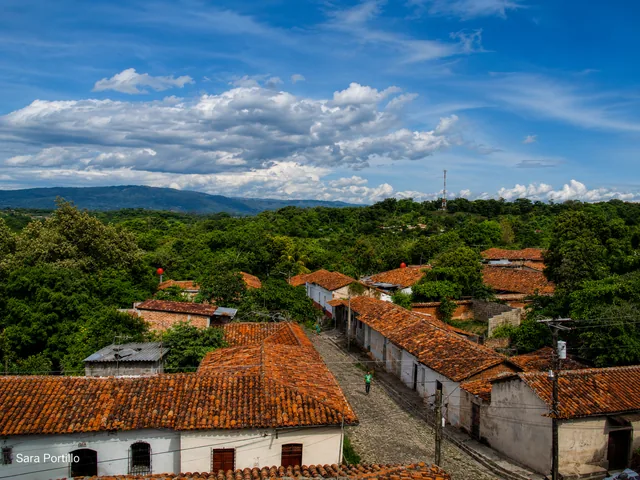
A northern mountain region for cooler weather, small towns, viewpoints, and rural outdoor routes.
Town guide
A northern mountain region for cooler weather, small towns, viewpoints, and rural outdoor routes.
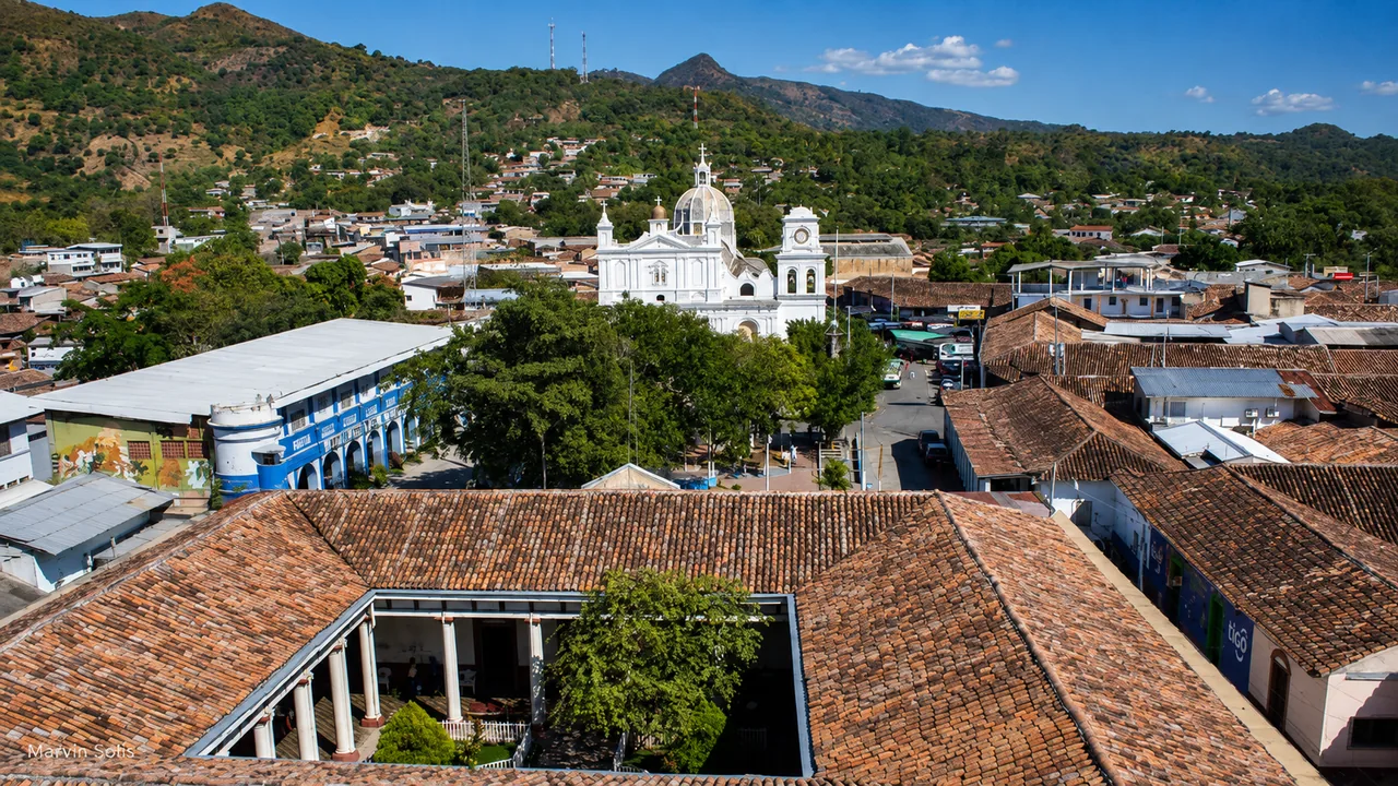
Photo: marvin solis
Plan it well
Stop in Chalatenango city for a meal, supplies, and a look at local life. If you are heading into the mountains, choose the town or trail before arranging transport: the department covers much more than the city.
Reference starting point: El Salvador Travel official listing.
In the northern highlands
The department’s highlands offer cooler air, viewpoints, small towns, and days outdoors. Choose a specific community or activity rather than assuming everything is close to Chalatenango city.
Use case
A northern mountain region for cooler weather, small towns, viewpoints, and rural outdoor routes.
Pacing
A few unhurried hours is enough to see the center and have a meal. Stay overnight when the following morning begins somewhere nearby.
A night here
Stay north when an early trail, mountain town, or slow rural day is the priority; otherwise visit from the capital with a confirmed return.
Nearby days
Pair one mountain outing with a town meal, craft stop, or viewpoint. Stay in the north instead of adding a distant coast or western journey to the same day.
City gateway to a large mountain department
Chalatenango is both a city and the name of a large northern department. San Ignacio, La Palma, and El Pital lie on separate mountain roads, about 55 kilometers and at least 52 minutes from the city before weather or stops. The distance is manageable, but the highlands still deserve their own time.
Chalatenango city offers everyday local life, supplies, a meal, and a comfortable overnight. The mountain towns and El Pital require their own plans, so it helps to know which one you want to see before heading north.
Estimated drive from San Salvador
79.6 km · 75 min
Map estimate to Chalatenango. Traffic, rain, stops, parking, and the final approach can all add time.
Estimated drive from San Ignacio
55.4 km · 52 min
Map estimate to Chalatenango. Traffic, rain, stops, parking, and the final approach can all add time.
One way to enjoy it
The green pins can look close together on a map, but the valleys and mountain roads make each outing feel separate.
City pause
Walk the central area, eat, refuel, and confirm the next road while there are services around you.
Pick one highland
San Ignacio, La Palma, El Pital, and the region’s farms, coffee, and hiking experiences all have different entrances. Save the exact one you need rather than the department name.
Be back before dark
Mountain roads, cloud, rain, and viewpoint stops can all lengthen the drive. Try to reach your hotel before dark.
Save these places
Chalatenango city center
This is a convenient place for a meal and supplies, not the location of every attraction in the department.
San Ignacio or La Palma
Pin the exact town and accommodation before leaving the main corridor.
El Pital access
The country’s highest peak is a separate mountain outing; confirm current road, parking, entrance, and weather details.
Find your bearings
Load the map to see the distance between the city and San Ignacio before choosing an overnight. Google receives data only after you choose to load it.
These drive times were checked on 11 August 2026. Traffic, rain, stops, parking, and the final approach can add time, so check the live route again before you leave.
Local orientation sketch, not a Google Maps preview. Google Maps loads only after you open it.
Sources and live checks · reviewed 11 August 2026
Place information: Official El Salvador Travel destination guide. Map point: OpenStreetMap destination pin. Drive-time method: How OSRM calculates routes. External sources open in a new tab.
Photo gallery
See the city and surrounding mountain landscape. Browse one photo at a time with Previous and Next.
Loading photo gallery…
Good to know
What to know about the city, northern highlands, transport, and where to spend the night.
Stay in Chalatenango city for local life and supplies, or continue into the highlands if the mountains are what brought you north.
Two to four hours is enough for Chalatenango city. The highlands deserve at least one night, or two when El Pital, a farm, coffee, or a proper hike draws you north.
Name the exact mountain destination, download the route, carry a warm and rain layer, and confirm arrival before dark. El Pital’s official elevation is 2,730 meters, so weather can feel very different from San Salvador.