Best for
Best for experienced surfers
Experienced surfers looking for a remote break, reliable local guidance, and arranged transport.
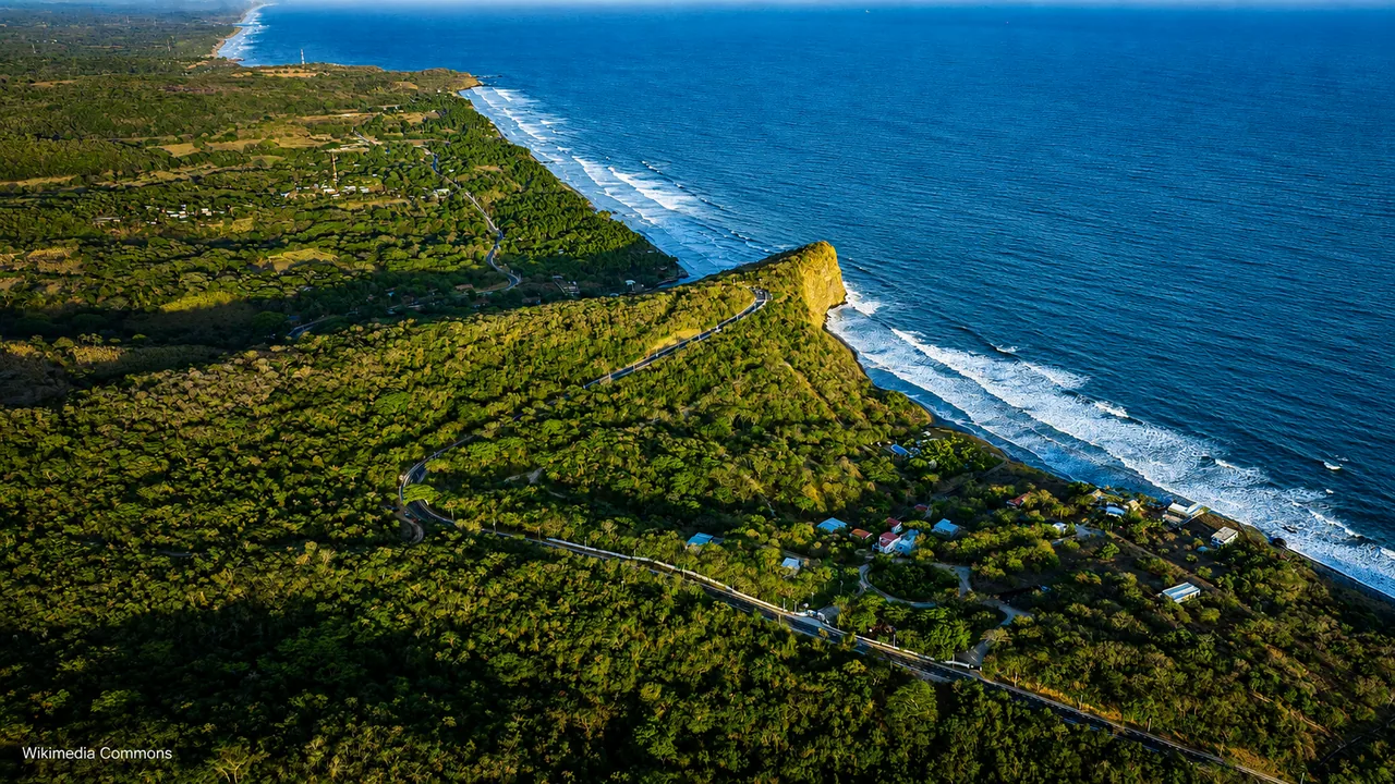
Beach guide
A remote eastern surf break for dedicated surf trips, local logistics, and travelers who already know why they are going.
Photo: Casa Presidencial El Salvador
What matters here
Punta Mango is not a casual first beach stop. It works best as a surf day from El Cuco or Las Flores when transport is arranged, the swell suits the group, and everyone is comfortable changing plans if access becomes difficult.
Reference starting point: El Salvador Travel official listing.
Before going farther east
Choose Punta Mango only when surfing is the reason for the outing, current conditions suit the group, and transport is confirmed. Stay in El Cuco or on the western coast when easier meals, lodging, and shorter transfers matter more.
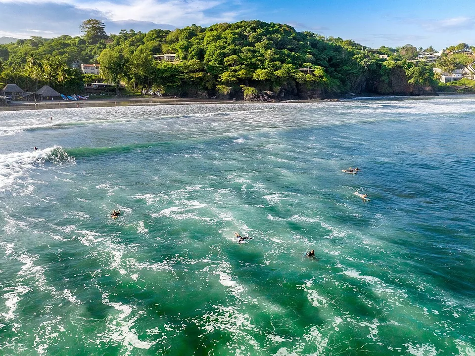
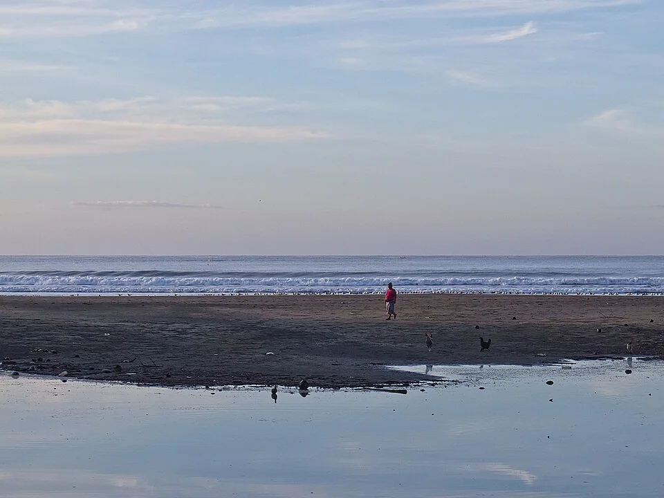
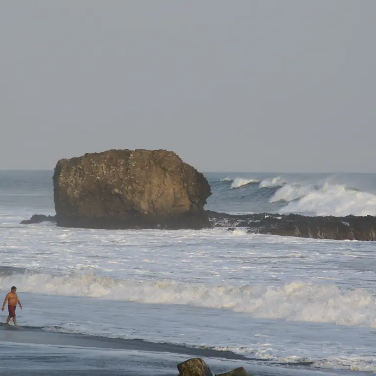
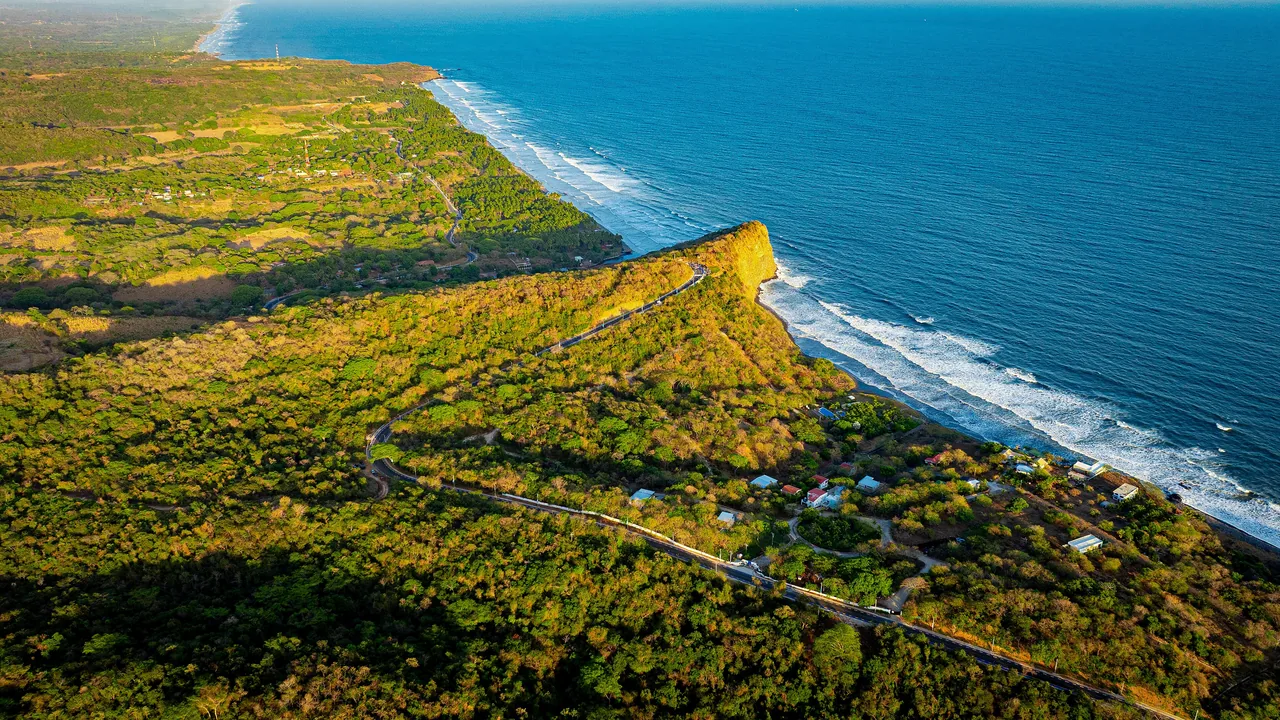
See the distance
Punta Mango is a remote coastal outing rather than a compact town beach. Arrange the driver and daylight return before leaving, with another eastern-coast day in mind if road or surf conditions change.
At Punta Mango
Come to Punta Mango for experienced surfing and a remote stretch of coast, with local guidance and transport arranged. It is not a casual swimming beach, and you should not count on walk-up services or an easy family day.
Best for
Experienced surfers looking for a remote break, reliable local guidance, and arranged transport.
Timing
Arrange transport and local advice in advance rather than assuming easy walk-up access.
Reality check
Skip it if your group wants calm swimming, easy restaurants, or a low-effort family beach day.
Nearby stops
El Cuco or Las Flores makes the most practical home for an eastern stay, with Punta Mango added when surf and road conditions cooperate. San Miguel is useful for city services before or after the coast.
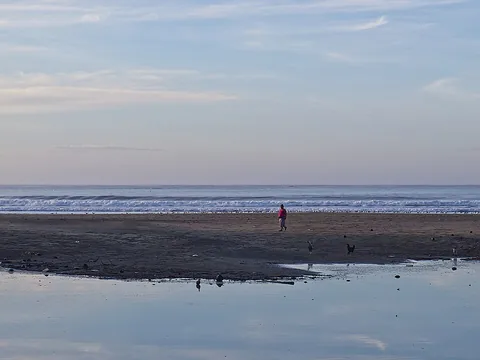
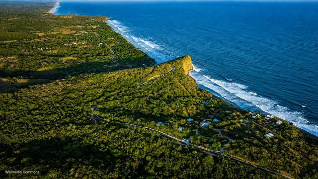
Remote-coast reality
Punta Mango is an exposed, rural eastern-coast surf destination with a fast right point break over rock and sand. The improved road has made access easier, but the roughly 12-kilometer drive from El Cuco still takes about half an hour before rain or surface delays. This remote outing needs a little more preparation than an ordinary beach day.
Punta Mango suits expert surfers and travelers who genuinely want a remote stretch of coast. El Cuco or Las Flores is the easier place to sleep unless you have confirmed lodging, road conditions, food, water, and communications near the break.
Estimated drive from El Cuco
11.9 km · 28 min
Map estimate to Punta Mango. Traffic, rain, stops, parking, and the final approach can all add time.
Estimated drive from San Miguel
51.8 km · 66 min
Map estimate to Punta Mango. Traffic, rain, stops, parking, and the final approach can all add time.
One way to enjoy it
Arrange the ride and a daylight return before you go. Once you arrive, watch the water before deciding whether to surf.
Before departure
Confirm whether road or boat access is best that day, who is responsible for the return, and how rain may affect the final road. Download the route and carry water, food, sun cover, and backup cash.
At the break
Watch several sets and take local advice. The official guide describes Punta Mango as one of the coast’s most challenging waves; powerful surf and a rocky bottom make it inappropriate for beginners.
Turnaround
Set a daylight departure time before the session. A sunset is only relaxing when the return vehicle, road, and driver are already sorted.
Save these places
Punta Mango break
Use the official destination pin, but confirm the current final access with your host or guide.
El Cuco base
This is the nearest easy option for accommodation, meals, and a simpler beach day.
Las Flores pickup
Boat trips may depart from the Las Flores/El Cuco area; get the exact sand or dock meeting point.
Find your bearings
Load the map to see why the short distance can still mean a slow drive on winding final roads. Check live conditions locally before trusting the suggested approach. Google receives data only after you choose to load it.
These drive times were checked on 11 August 2026. Traffic, rain, stops, parking, and the final approach can add time, so check the live route again before you leave.
Local orientation sketch, not a Google Maps preview. Google Maps loads only after you open it.
Sources and live checks · reviewed 11 August 2026
Place information: Official El Salvador Travel destination guide. Map point: OpenStreetMap destination pin. Drive-time method: How OSRM calculates routes. External sources open in a new tab.
Photo gallery
See the remote eastern coastline and surf. Browse one photo at a time with Previous and Next.
Loading photo gallery…
Good to know
What experienced surfers should know about access, conditions, and the remote setting.
Punta Mango is worth the journey for experienced surfers who want a remote break and have transport and current conditions confirmed.
Reserve a full day from El Cuco or Las Flores and keep the night on the eastern coast. Do not combine Punta Mango with a same-day return to San Salvador unless a trusted operator is responsible for all the transport.
Confirm road access, a trusted driver, return timing, swell, tide, and whether every surfer has the experience for the conditions.