Why it works
Why this hike belongs on a first El Salvador trip
Santa Ana Volcano takes you to the rim of an active volcano without requiring a multi-day trek. The trail usually starts around the Cerro Verde area, climbs through forest and volcanic terrain, then opens onto a crater rim where the landscape feels completely different from the beaches and towns below.
The hike also fits naturally into a compact itinerary. You can base in Santa Ana, stay near Lake Coatepeque, or make it part of a western El Salvador loop with Ruta de las Flores.
How hard is Santa Ana Volcano?
For active travelers, Santa Ana is a moderate hike. The challenge is not technical climbing. It is the steady uphill grade, loose volcanic rock, sun exposure near the top, and strong wind around the crater rim.
If you rarely hike, expect to move slower and take more breaks. If you hike regularly, it should feel manageable but still worthwhile.
Shoes and crater-rim caution
Wear closed shoes with grip. This is not a flip-flop or city-sneaker walk. The descent can feel slippery in dry dust or after rain, and the crater edge deserves real caution.
Stay on the marked route and do not step close to the rim for photos. The view is already good from safe ground.
Logistics
Guides, timing, and park logistics
Plan for a morning hike and keep the afternoon flexible.
Guide setup
Plan on hiking with a local guide or official group. The exact process can vary by day, transport method, season, and park procedure, so treat guide fees and start times as details to confirm before arrival. Independent travelers commonly coordinate from Santa Ana or the Cerro Verde area, while tours simplify transport and timing.
Morning timing
The safest planning habit is simple: go in the morning. Weather is usually more cooperative earlier in the day, and local bus schedules can create a tight return window. If you are driving or hiring transport, you get more flexibility, but you should still avoid a late start because clouds, rain, wind, or park rules can affect access to the summit.
Practical hike plan
A realistic morning schedule
As checked on 24 July 2026, ISTU's official schedule lists the Santa Ana hike Tuesday through Sunday at 8:30 a.m., with Monday closed. The same notice lists a US$6 foreign-visitor park fee and a US$3 guide fee. Treat those details as a starting point and recheck before travel: volcanic monitoring, weather, or park operations can still change access.
Before 7:00
Leave your base early
Santa Ana, Lake Coatepeque, or a pre-arranged tour makes the hike easier. Leaving from the coast adds a longer, less forgiving morning drive.
Before 8:30
Check in for the official start
Arrive before the listed group departure with cash, closed shoes, sun protection, and at least two liters of water per person. Reconfirm the meeting point and procedure.
Midday
Summit timing can change
Wind, clouds, rain, and group pacing can change the timing. Stay on marked ground and skip risky crater-rim photos.
After
Lunch by the lake
Lake Coatepeque works well after the hike for lunch, a slow afternoon, or an overnight stop before Ruta de las Flores.
Who should skip or adjust the hike
- Skip it if knees, balance, heat, or loose rock make downhill walking risky.
- Adjust it if you are traveling with young children, older relatives, or anyone who hates early starts.
- Have a backup if clouds, rain, or access rules make the summit less worthwhile.
- Do not force it from the coast if your next day already has a long transfer.
Location
Where Santa Ana Volcano sits
The hike begins in western El Salvador around Cerro Verde in Los Volcanes National Park. Santa Ana city or Lake Coatepeque makes the morning easier; leaving from the coast turns it into a much longer day.
Local orientation sketch, not a Google Maps preview. Google Maps loads only after you open it.
Official access checks · reviewed 24 July 2026
Verify both park operations and volcano status
ISTU publishes the official hike schedule; MARN publishes active-volcano monitoring. Check both shortly before the hike and follow any same-day instruction from rangers, guides, or civil-protection authorities.
Visual guide
What the day feels like
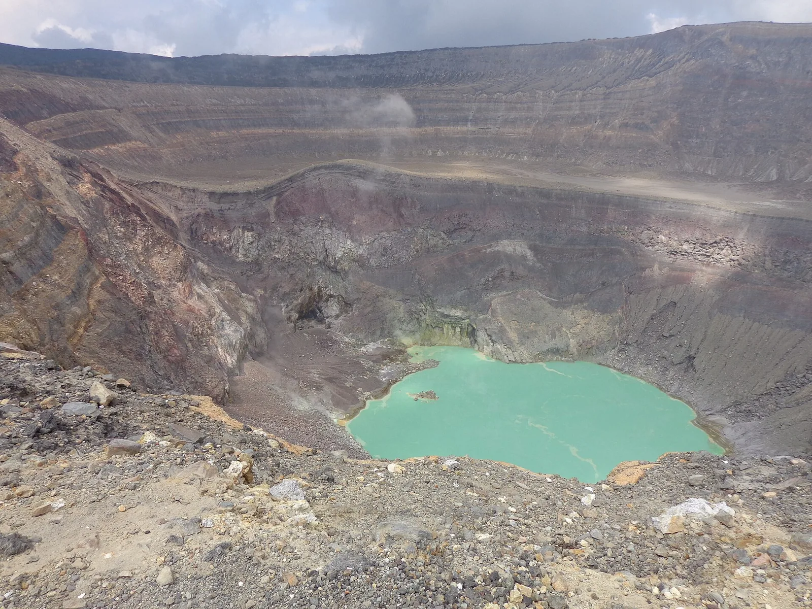
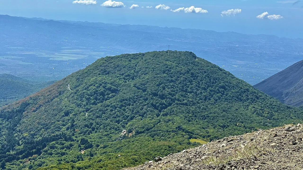
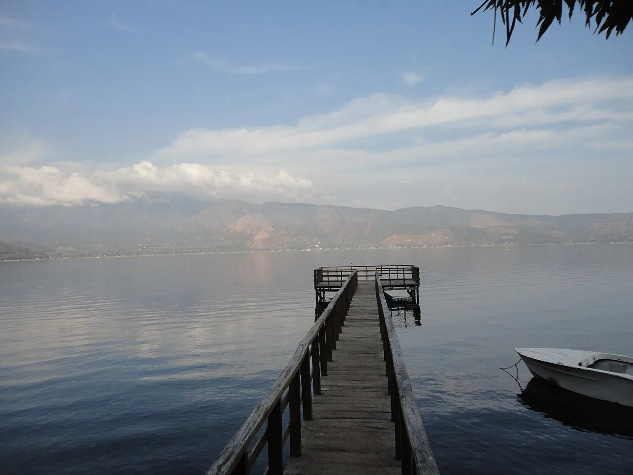
The crater, the neighboring volcanoes, and Lake Coatepeque show how varied this corner of western El Salvador feels.
Simple day plan
Best way to structure the day
-
01
An early start helps
Santa Ana and Coatepeque are easier bases than the capital for a relaxed day.
-
02
Hike first
Do the volcano before lunch while legs, light, and weather are usually better.
-
03
Lunch is best left flexible
If the hike runs long, eat near the park or continue to Lake Coatepeque depending on transport.
-
04
Recover by the lake
Lake Coatepeque is the natural add-on for views, a meal, and a slower pace after the climb.
Pack smart
What to bring
- Closed shoes with grip
- Water and a snack
- Sun protection
- Light layer or windbreaker
- Small USD bills
- Offline map and phone battery
Base yourself well
Where to stay before the hike
Santa Ana is practical if you want hostels, restaurants, buses, and an easy city base. Lake Coatepeque works if you want scenery and a quieter overnight near the volcano area.
Ruta de las Flores can work for travelers building a western road trip, but it adds more morning logistics.
When to adjust
Who should skip or adjust the hike?
Skip the crater attempt if weather is unsafe, if lightning is possible, if winds are extreme, or if the park advises against hiking. Travelers with knee issues may find the descent harder than the climb. Families with young children should check current guide rules and trail conditions before promising the hike as a guaranteed activity.