Why it works
Why Ruta de las Flores is more than a pretty drive
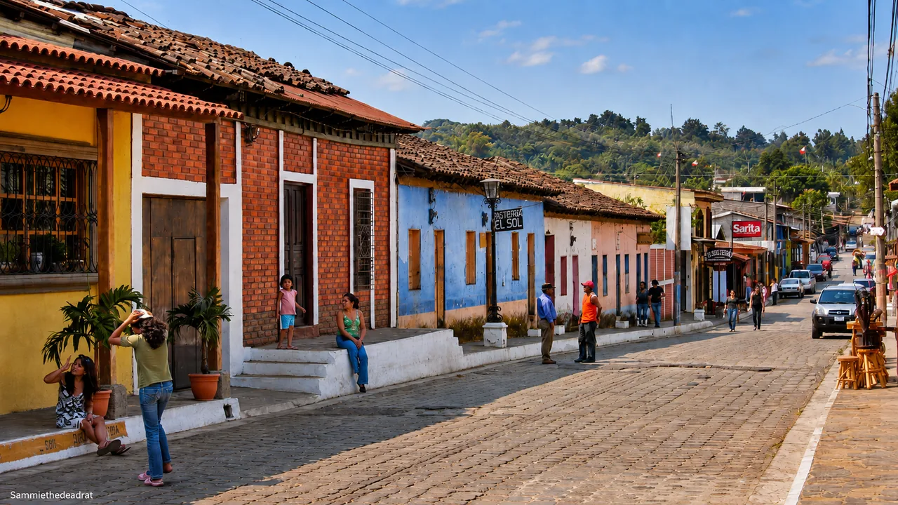
The road links cooler highland towns with murals, cafés, food stalls, and squares worth walking around. It makes a pleasant change from the hot coast, with coffee visits and short nature outings along the way.
You can see part of Ruta de las Flores in a day, but the region becomes more memorable at a slower pace, with time for meals and one or two towns rather than a hurried roll call.
Along the route
Five towns to choose from
Juayúa makes a convenient place to stay, while Nahuizalco, Salcoatitán, Apaneca, and Ataco are easy to visit along the way.
03 · Where to stay
Juayúa
The best-known food-festival base and a sensible overnight for waterfalls, town walks, and a slower Ruta de las Flores pace.
01 · Start
Nahuizalco
Start here for the market and local crafts if you are arriving from Sonsonate.
Best for: the market and crafts.
02 · Slow stop
Salcoatitán
Small, relaxed, and good for a coffee or food pause between larger towns.
Best for: a short coffee or food break.
04 · Highlands
Apaneca
Cooler mountain air, coffee country, viewpoints, and a natural link toward Ataco.
Best for: coffee country and viewpoints.
05 · Murals
Ataco
Colorful streets, artisan shops, cafés, and one of the most photogenic stops on the route.
Best for: murals, cafés, and photos.
Recommended pacing
A simple two-night Ruta de las Flores plan
Day 1
Arrive through Nahuizalco and Juayúa
Start from Santa Ana, Sonsonate, or San Salvador. Visit one small town, settle in Juayúa or Ataco, and keep dinner local.
Day 2
Food, coffee, waterfalls, murals
Use the full day for Juayúa food, a guided waterfall or nature outing if conditions are right, and an afternoon in Apaneca or Ataco.
Day 3
Continue the western loop
Head toward Santa Ana Volcano, Lake Coatepeque, or back to San Salvador depending on your route.
Shortcut
One-day sampler
Pick Juayúa plus Ataco instead of trying to fully cover every town. Add a coffee stop if timing is smooth.
Location
How the route connects
Ruta de las Flores is a western highland corridor rather than one single town. The most useful planning decision is whether you are passing through from San Salvador, connecting from Santa Ana, or making a slower loop with volcano and lake stops.
Local orientation sketch, not a Google Maps preview. Google Maps loads only after you open it.
What to do
Coffee, food, festivals, and waterfalls
Coffee and cafés
Coffee is woven into the highlands. Leave time for a farm, a tasting, or a relaxed café stop rather than drinking one cup on the run.
Weekend food
Juayúa is the best-known food town on the route. Weekends are lively and busy, so leave the afternoon loose after lunch instead of booking several timed stops.
Waterfalls and nature
Waterfall outings can be excellent, but conditions matter. Ask locally about trail access, weather, footwear, and whether a guide is recommended that day.
Murals and town walks
Ataco and the smaller towns reward unhurried walking. Leave space for photos, shops, church squares, and the kind of small stops that make the route feel local.
FAQ
Ruta de las Flores planning questions
Can I do Ruta de las Flores without a car?
It is possible to move between towns by public transport or local arrangements, but a car or driver makes the route much easier, especially if you want waterfalls, coffee stops, or a clean connection to Santa Ana and Lake Coatepeque.
Should I stay in Juayúa or Ataco?
Juayúa is practical for food and waterfall outings. Ataco is strong for murals, cafés, shops, and a polished town feel. Either can work; choose based on your priority and lodging style.
Is the route family-friendly?
Yes, especially for families who prefer town walks, food, coffee stops, and cooler weather over high-adrenaline activities. Be more cautious with waterfall hikes and long driving days.