Beyond the summit
Santa Ana Volcano Destination Guide
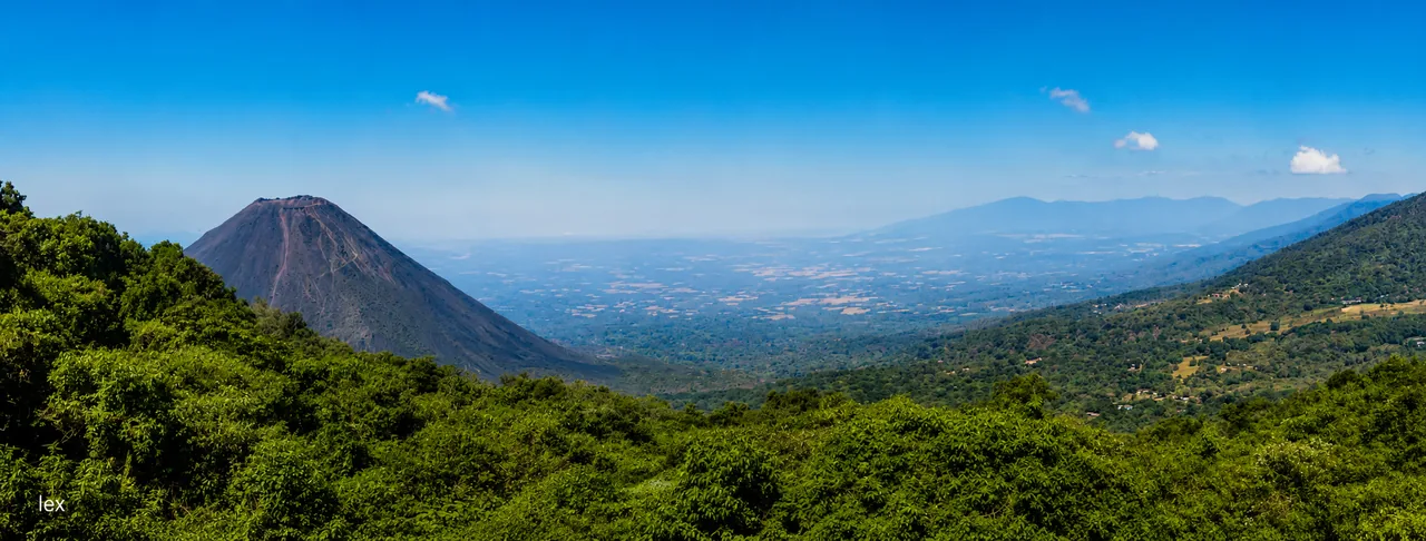
Santa Ana Volcano rises above a western landscape of crater views, Cerro Verde trails, Lake Coatepeque, and the city of Santa Ana.
Photo: LEX
At a glance
Quick Verdict & Practical Logistics
Signature crater hike, vivid turquoise sulfur lagoon, 360° views across Lake Coatepeque and Izalco
Primary traveler appeal
Steep rocky trails or mandatory guided group ascents challenge your schedule
When to choose another base
Half day (4-hour round trip hike; arrive at Cerro Verde before 9:30 AM)
Recommended minimum duration
1 hr 45 mins (95 km via CA-1W)
From San Salvador: 1 hr 20 mins (68 km via CA-1W)
OSRM point-to-point driving baseline
Nov–Apr (clearest crater visibility and lower rainfall risk)
Climate & activity window
Midday cloud cover often obscures the crater; cool windy summit requires a windbreaker
Realistic expectation to know
More than one hike
Give the volcano area a full day, and preferably a nearby night
The hike begins around Cerro Verde, with several worthwhile places nearby. Santa Ana city has restaurants and streets to explore in the evening; Lake Coatepeque offers a quieter afternoon after an early start. You can continue to Ruta de las Flores the next morning rather than returning across the country.
Stay close enough for a calm morning start, and leave the afternoon flexible. Mountain weather may change how much you can do.
Name the volcano
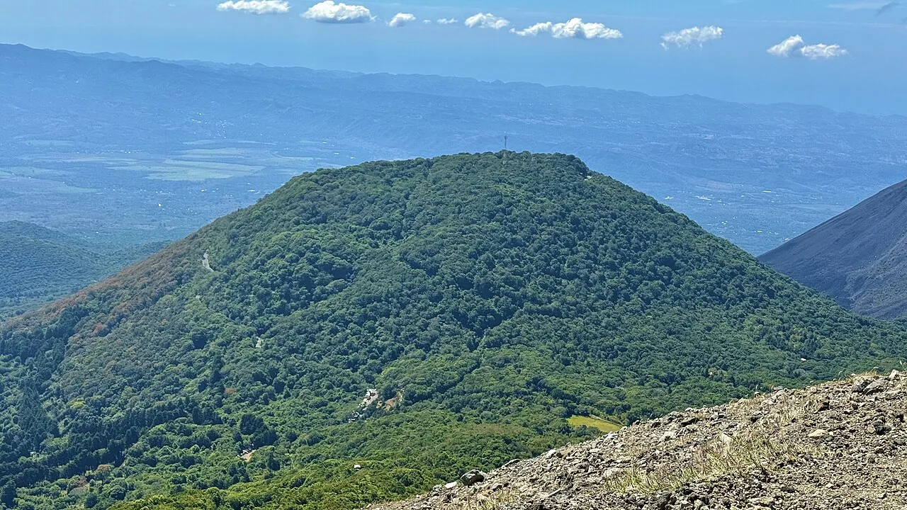
Izalco appears across the western volcano landscape
This view looks from Santa Ana Volcano toward the younger, symmetrical cone of Izalco. It helps orient the neighboring peaks, but it is not the Santa Ana crater and does not show current weather, visibility, or trail access.
Choose your base
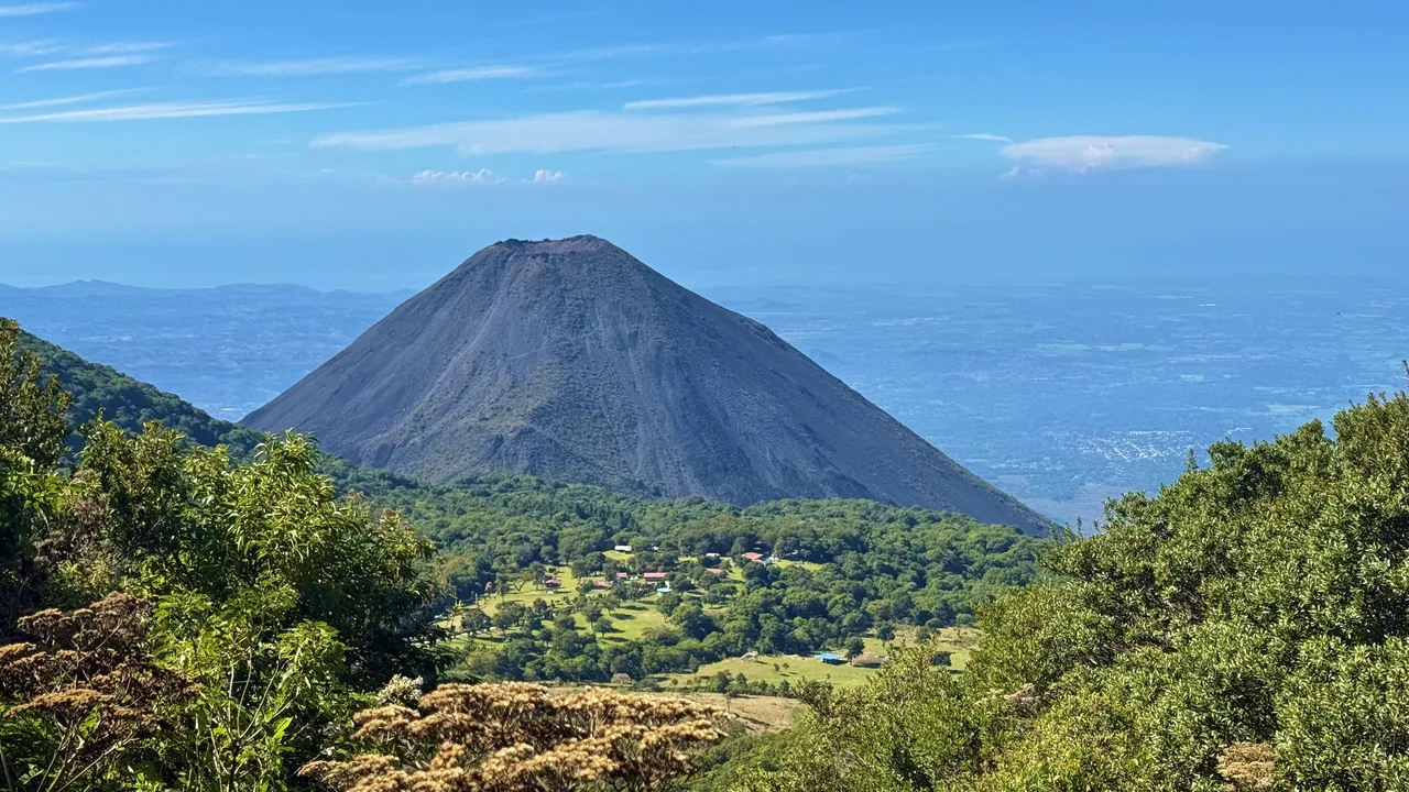
Where you sleep changes the morning
| Base | Why choose it | What to consider | Best next stop |
|---|---|---|---|
| Santa Ana city | Restaurants, city atmosphere, wider hotel choice | Morning road transfer to the park | Joya de Cerén or Ruta de las Flores |
| Lake Coatepeque | Quiet views and a rewarding post-hike afternoon | Properties can be spread out; confirm meals and transport | Coast or San Salvador |
| Cerro Verde area | Shortest, calmest start for mountain plans | Fewer evening choices and weather-dependent atmosphere | Santa Ana city |
| Ataco or Ruta towns | Works when highlands are the main theme | Longer early transfer; verify timing with your driver | Ruta de las Flores |
See the western loop
Four places, four different moods
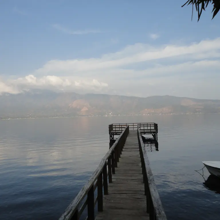
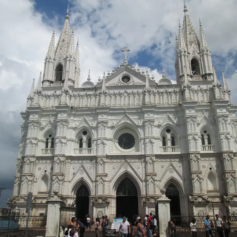
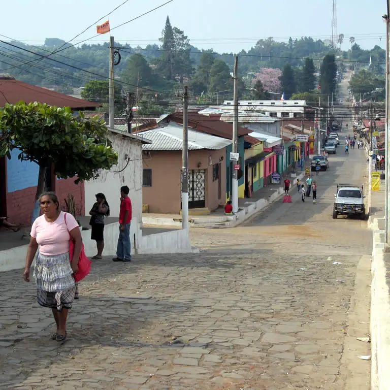
Real map
Santa Ana Volcano, Cerro Verde and the lake
Load the map to understand the relationship between the park access area, the crater, Santa Ana city and Lake Coatepeque. The mountain roads make these places feel farther apart than a straight-line map suggests.
Local orientation sketch, not a Google Maps preview. Google Maps loads only after you open it.
Prefer a separate window? Open the area in Google Maps.
A satisfying day
Early mountain, slow afternoon
- Morning: follow the current ISTU access instructions and leave weather margin.
- After the hike: eat before deciding whether the lake still sounds appealing.
- Late afternoon: choose either Coatepeque views or a return to Santa Ana, not a frantic list.
- Evening: stay west if Ruta de las Flores or archaeology comes next.
Keep the two guides straight
This page explains the area
Check the hiking guide for departure arrangements, fees, park rules, weather checks, and what to bring. These details can change, so read it before setting out.
Check current hike planningPhoto gallery
Santa Ana Volcano in photos
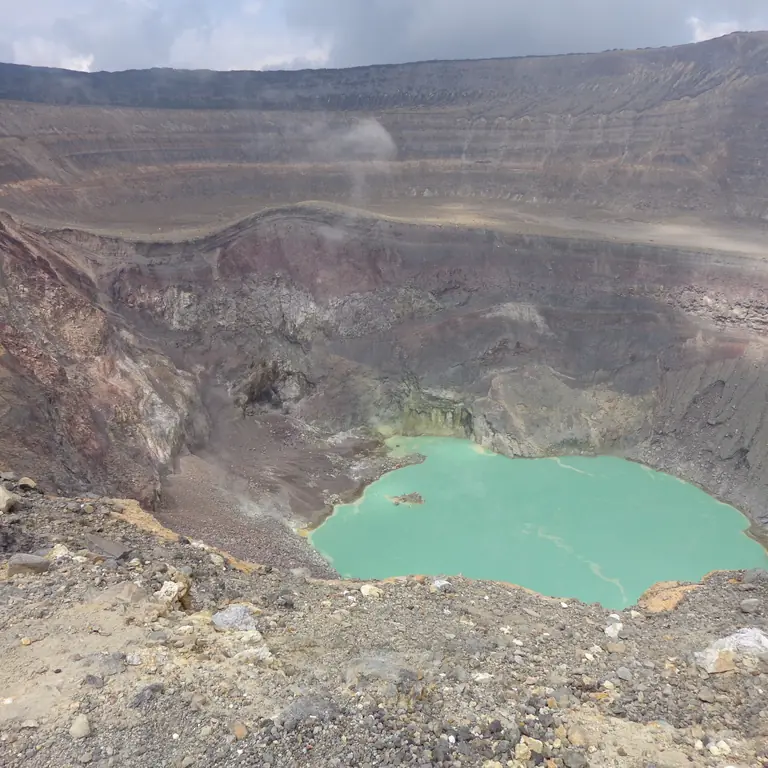
See the crater and views toward Izalco and Cerro Verde. Browse one photo at a time with Previous and Next.
Loading photo gallery…
Good to know
A few useful answers
Useful details about trail access, weather, nearby stays, and Lake Coatepeque.
Who should plan around Santa Ana Volcano?
Plan around Santa Ana Volcano if you want El Salvador’s clearest big-view hike and can handle an early start, sun exposure, and changing mountain weather.
How much time should I allow?
Allow most of the day. Transport, park entry, meals, and a possible Lake Coatepeque stop take time beyond the hike itself.
What should I pair nearby?
Pair the volcano with Santa Ana city, Lake Coatepeque, or a western-base night. Do not make it an afterthought on a packed transfer day.