Best for
Choose a marine outing with a local operator
Choose Los Cóbanos when reef scenery, snorkeling conditions, and boat/coast exploration matter more than nightlife.
Beach guide
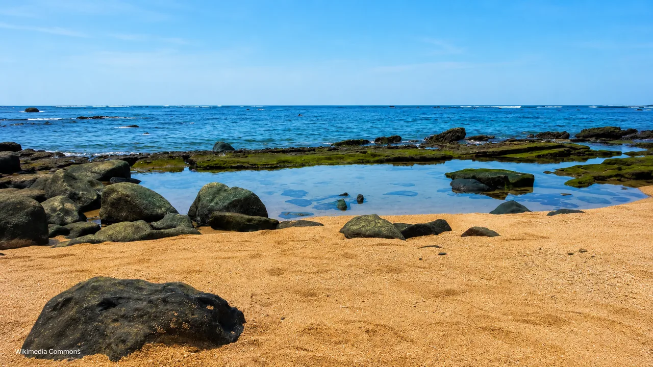
A western reef-coast village near Acajutla, known for golden sand, coral, calmer water pockets, and marine-life appeal.
Photo: Ballenita feliz
Plan it well
Los Cóbanos is a small fishing village in Sonsonate Oeste, near Acajutla. The official tourism guide describes honey-colored sand, coral, rock formations, and calm water. Treat that as a description of the coast, not a swimming forecast: ask locally about the day’s sea conditions.
Reference starting point: El Salvador Travel official listing.
A reef coast, not a generic beach
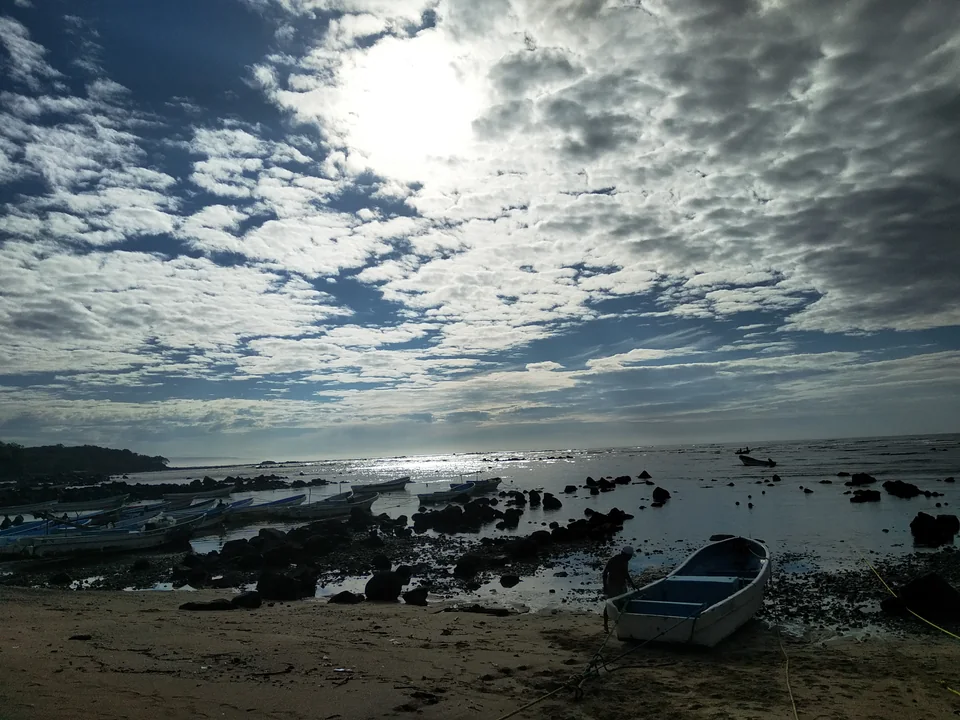
Expect a working fishing shore with rocks, boats, and water activities that depend on tide, weather, and a current local operator. Choose a resort stay or an inland day instead when easy beach access or coffee towns are the priority.


Read the shoreline
The protected marine coast is visually different from a broad resort beach. Ask locally which access point suits the day and whether tide and sea conditions support the activity you have in mind.
At Los Cóbanos
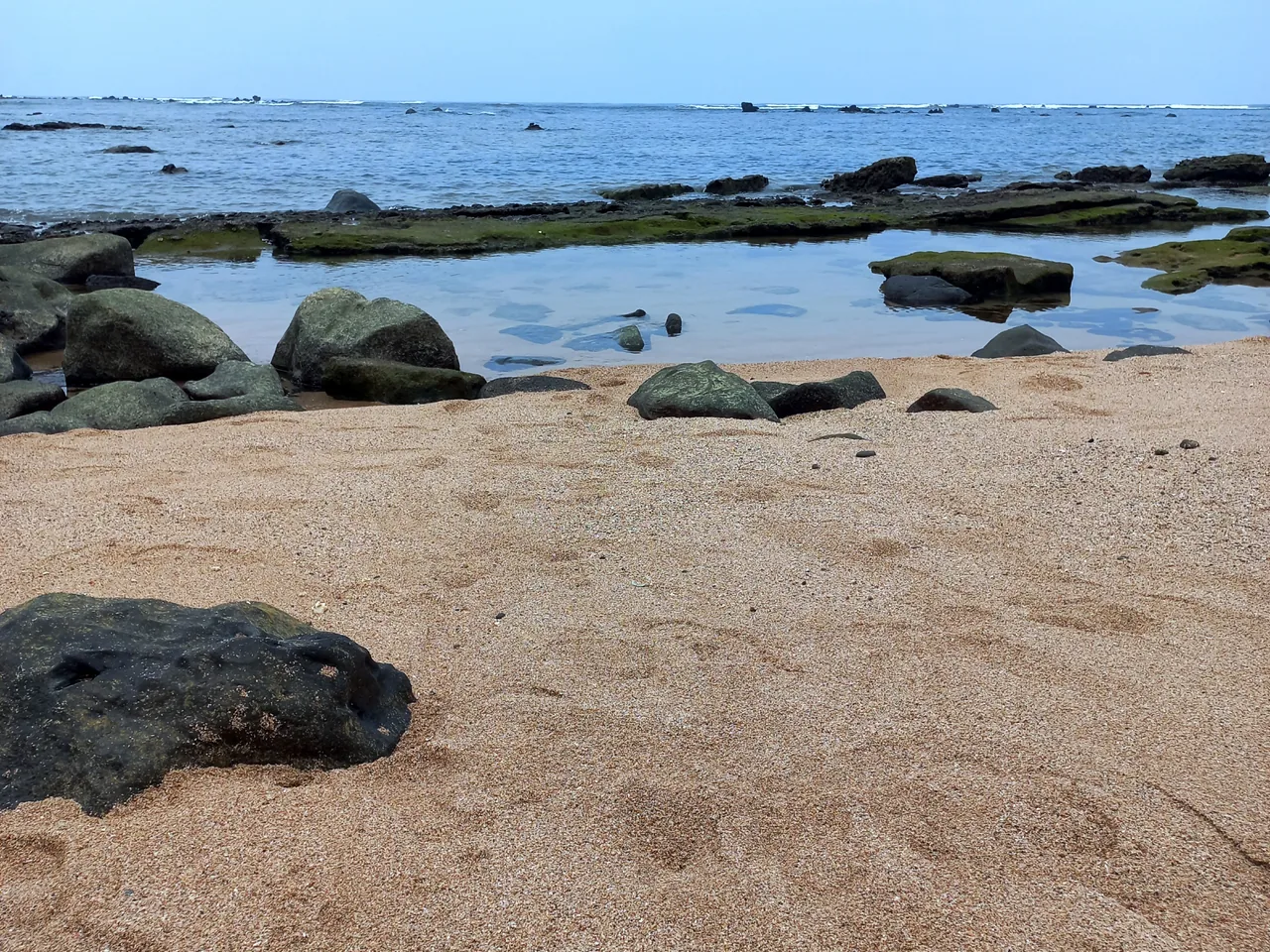
Come for reef-coast character, rock formations, marine life, and a quieter western beach day. Snorkeling, boat trips, and swimming depend on the chosen access point and current sea conditions.
Best for
Choose Los Cóbanos when reef scenery, snorkeling conditions, and boat/coast exploration matter more than nightlife.
Timing
Expect rocks and coral along the shore, with beach access that changes with the tide.
Reality check
Works well as a western add-on with Sonsonate, coffee towns, and Ruta de las Flores.
Western route
Sonsonate, Acajutla, and Ruta de las Flores all connect naturally with this stretch of coast. Leave most of the day for the beach rather than rushing through several inland stops as well.


Reef coast, not surf coast
Los Cóbanos is the west-coast choice for golden-toned sand, coral and volcanic reef, calmer pockets of water, fishing culture, and seasonal marine outings. The reef that changes the shoreline also means snorkeling, diving, whale watching, and boat access depend on conditions and a capable local guide.
Los Cóbanos is best enjoyed as a marine day, with beach time and one responsibly run activity such as snorkeling, diving, paddling, fishing, or seasonal wildlife watching. Check visibility and sea conditions before choosing.
Estimated drive from Sonsonate
24.7 km · 31 min
Map estimate to Los Cóbanos. Traffic, rain, stops, parking, and the final approach can all add time.
Estimated drive from San Salvador
90.2 km · 95 min
Map estimate to Los Cóbanos. Traffic, rain, stops, parking, and the final approach can all add time.
One way to enjoy it
Plan one water activity, take care around the reef, and leave some unstructured time for the village and shore.
Before booking
Ask about operator experience, safety equipment, group size, exact site, sea conditions, wildlife-distance rules, and what happens if visibility is poor.
On shore
Wear water shoes only where locally appropriate, avoid standing on coral, and ask where swimming is safest as tide and exposed rock change the usable shoreline.
After the water
Eat locally and keep the afternoon flexible. A boat trip that runs long should not be followed by a rushed cross-country drive.
Save these places
Los Cóbanos village
The village pin gives you a general point of reference; save the exact hotel, beach, or boat-launch entrance separately.
Operator meeting point
A “Los Cóbanos tour” may leave from a specific cove or property, not the center of the village.
Sonsonate or Acajutla turnoff
Download the route before the final coastal roads and allow for slower local traffic.
Find your bearings
Open the map to place the village relative to Sonsonate and Acajutla, then use your operator’s exact launch pin. Google receives data only after you choose to load it.
These drive times were checked on 11 August 2026. Traffic, rain, stops, parking, and the final approach can add time, so check the live route again before you leave.
Local orientation sketch, not a Google Maps preview. Google Maps loads only after you open it.
Sources and live checks · reviewed 11 August 2026
Place information: Official El Salvador Travel destination guide. Map point: OpenStreetMap destination pin. Drive-time method: How OSRM calculates routes. External sources open in a new tab.
Photo gallery
See the rocky shore and protected reef coast. Browse one photo at a time with Previous and Next.
Loading photo gallery…
Good to know
Answers about the reef coast, marine outings, swimming, and places to stay.
Los Cóbanos is a good choice for reef scenery, marine life, and a quieter western beach day.
Allow a full day if you are adding a boat, dive, or snorkeling trip. One night gives you a weather buffer and avoids combining a marine outing with a long same-day return to San Salvador.
Confirm the licensed operator, weather, visibility, departure time, equipment, marine-area rules, and whether the outing suits your group.