Best for
Regional capital
Use San Andrés to understand how a large pre-Hispanic center organized ceremony, residence, and regional influence.
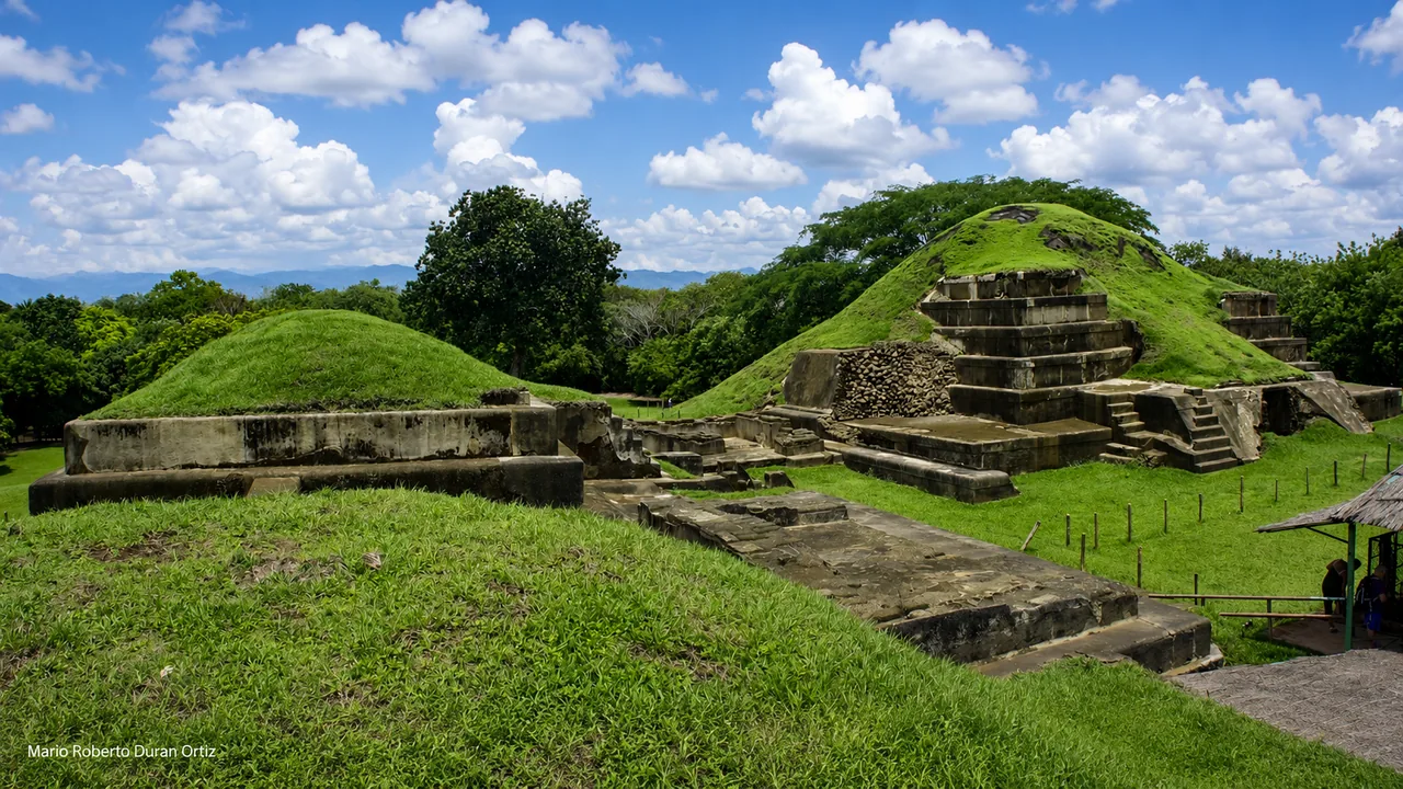
History guide
A major pre-Hispanic center in La Libertad Centro, likely a regional capital between 600 and 900 AD.
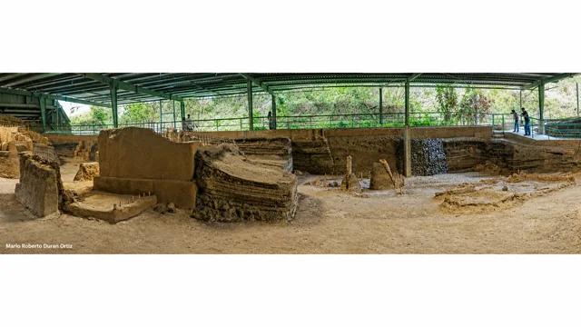
Photo: Mario Roberto Duran Ortiz
Plan it well
San Andrés Archaeological Park sits around Ciudad Arce and San Juan Opico in La Libertad Centro. It is one of El Salvador’s largest pre-Hispanic centers and was probably a regional capital between 600 and 900 AD, with a monumental core surrounded by a broad residential area.
Reference starting point: El Salvador Travel official listing.
Visual guide
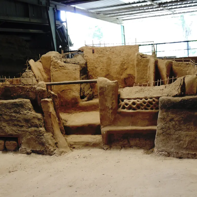
San Andrés shows the ceremonial center of a large settlement. Nearby Joya de Cerén adds a view of household life in the same valley.
At San Andrés
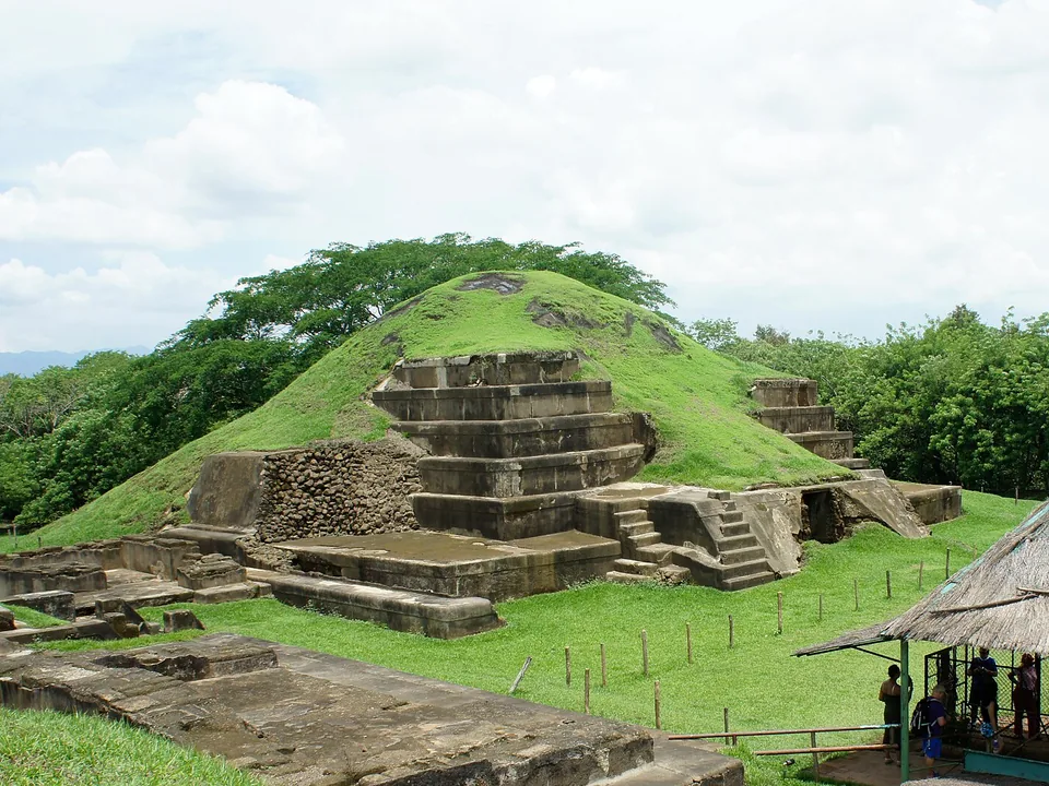
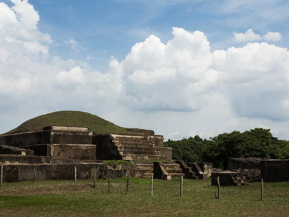
San Andrés’ monumental core shows the scale of a former regional center. Pair it with Joya de Cerén if you also want to see how families lived in the same valley.
Best for
Use San Andrés to understand how a large pre-Hispanic center organized ceremony, residence, and regional influence.
Timing
Pair it with Joya de Cerén for one of the strongest archaeology half-days from San Salvador or the western route.
Context
Look for the relationship between the monumental center and the wider residential landscape that once surrounded it.
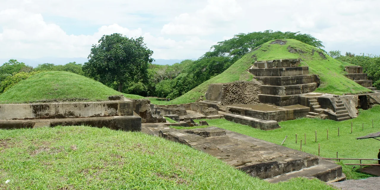
Read the whole Acropolis
The wide view keeps Structures 1 and 2, the stepped platforms, and the grassy Acropolis precinct in one frame. It gives a clearer sense of site layout than a close view of one restored face.
Zapotitán Valley
Joya de Cerén is the strongest companion because it adds household life to San Andrés’s ceremonial scale. A western overnight can also connect the day with Santa Ana or Coatepeque.
A regional capital in the Zapotitán Valley
San Andrés was likely a regional capital between about 600 and 900 AD, with an acropolis, plazas, pyramids, residential areas, and a museum that explains the wider settlement. You can reach the site from either San Salvador or Santa Ana, making it a useful stop on the drive west. Allow time for the museum and breaks from the heat.
San Andrés is the stronger choice for monumental scale and regional history. Nearby Joya de Cerén shows ordinary village life, so the two sites make a revealing pair when both are open.
Estimated drive from San Salvador
31.9 km · 33 min
Map estimate to San Andrés. Traffic, rain, stops, parking, and the final approach can all add time.
Estimated drive from Santa Ana
34.8 km · 32 min
Map estimate to San Andrés. Traffic, rain, stops, parking, and the final approach can all add time.
One way to enjoy it
San Andrés and Joya de Cerén tell very different stories. Give each site enough attention to keep those differences clear.
San Andrés grounds
Walk the acropolis and north plaza while the day is cooler, noting how monumental structures sit within a much larger residential and farming landscape.
Museum pause
The local museum explains the construction materials, artifacts, and the settlement’s role before you continue to another site.
Optional Joya de Cerén
Visit the preserved village when entry is confirmed and you have time for its distinct story of daily life. Otherwise continue to Santa Ana or your next stop.
Save these places
San Andrés entrance
Save the archaeological-park entrance, not the broad Ciudad Arce or San Juan Opico label.
Joya de Cerén
Pin the UNESCO site separately and confirm its live opening status.
Western overnight
Drive times from Santa Ana and San Salvador are similar, so the better starting point depends on what you are doing the following day.
Find your bearings
Load the map to position the park between San Salvador and Santa Ana and compare nearby archaeology. Google receives data only after you choose to load it.
These drive times were checked on 11 August 2026. Traffic, rain, stops, parking, and the final approach can add time, so check the live route again before you leave.
Local orientation sketch, not a Google Maps preview. Google Maps loads only after you open it.
Sources and live checks · reviewed 11 August 2026
Place information: Official El Salvador Travel destination guide. Map point: OpenStreetMap destination pin. Drive-time method: How OSRM calculates routes. External sources open in a new tab.
Photo gallery
See the acropolis and archaeological park. Browse one photo at a time with Previous and Next.
Loading photo gallery…
Good to know
What to know about the monumental center, museum, current access, and nearby Joya de Cerén.
San Andrés shows the monumental center of a former regional capital, with an acropolis, plazas, museum, and broad views across the valley.
Joya de Cerén adds the everyday-life story that San Andrés does not. You can visit both in one day without leaving the valley.
Confirm current opening days, museum access, guide availability, heat, and transport between San Andrés and Joya de Cerén.