Use case
Why base here
A western highland city for hot springs, coffee country, Ruta de las Flores access, and slower town time.
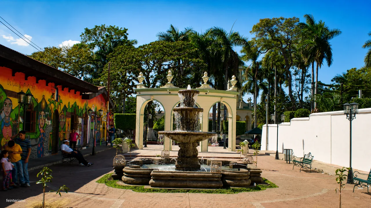
Town guide
A western highland city for hot springs, coffee country, Ruta de las Flores access, and slower town time.
Photo: feinteriano
Plan it well
Give Ahuachapán a few hours for its historic center, coffee, and lunch. Stay overnight if you have booked a thermal-spring visit or want an easy start toward Ataco the next morning.
Reference starting point: El Salvador Travel official listing.
In Ahuachapán
Come for the hot-spring area, coffee-country access, local meals, and a slower western-city rhythm. An overnight makes more sense when Ahuachapán shortens the next day in Ruta de las Flores.
Use case
A western highland city for hot springs, coffee country, Ruta de las Flores access, and slower town time.
Pacing
A few unhurried hours is enough to see the center and have a meal. Stay overnight when the following morning begins somewhere nearby.
A night here
A night here leaves time for the hot springs and nearby coffee towns without returning to San Salvador.
Nearby days
Build the visit around Ruta de las Flores, coffee country, thermal-water time, or western archaeology rather than treating the city as an isolated detour.
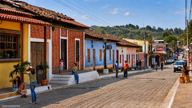
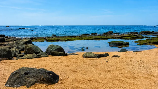
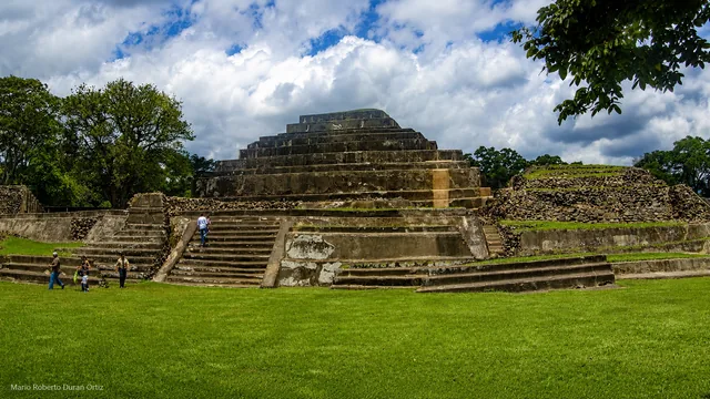
Western city, coffee-country pace
Ahuachapán has its own compact city story: La Asunción Parish, Pasaje La Concordia, murals, La Concordia Park, Francisco Menéndez Park, and the lantern tradition connected with the Nativity of Mary celebrations. It also sits close to Ataco and the wider Ruta de las Flores, making it a useful base when you want city services and a slower evening.
Ahuachapán is worth a few hours for its center, coffee, and lunch, or an overnight near the thermal springs. It also makes an easy starting point for Ataco without feeling like a mere parking place for Ruta de las Flores.
Estimated drive from Santa Ana
35.2 km · 33 min
Map estimate to Ahuachapán. Traffic, rain, stops, parking, and the final approach can all add time.
Estimated drive from Ataco
9.6 km · 14 min
Map estimate to Ahuachapán. Traffic, rain, stops, parking, and the final approach can all add time.
One way to enjoy it
A compact walk through the center leaves time for either coffee country or the thermal springs without rushing both.
Old-center walk
Begin around La Asunción Parish and Pasaje La Concordia, then connect the two central parks and their monuments on foot.
Coffee and lunch
Pause for highland coffee and a local meal. Ask what is actually open rather than building the day around an unverified social-media post.
Choose the finish
Continue roughly 10 kilometers toward Ataco, check into Ahuachapán, or use a pre-booked thermal experience with a confirmed entrance and return plan.
Save these places
La Asunción Parish
A natural first pin for the historic-center walk.
Pasaje La Concordia
This pedestrian passage links murals, park space, and nearby cafés.
Thermal property entrance
Hot-spring experiences are outside the simple plaza walk; book and pin the exact property.
Find your bearings
Open the map to orient the central walk and compare the short Ataco connection with the longer Santa Ana route. Google receives data only after you choose to load it.
These drive times were checked on 11 August 2026. Traffic, rain, stops, parking, and the final approach can add time, so check the live route again before you leave.
Local orientation sketch, not a Google Maps preview. Google Maps loads only after you open it.
Sources and live checks · reviewed 11 August 2026
Place information: Official El Salvador Travel destination guide. Map point: OpenStreetMap destination pin. Drive-time method: How OSRM calculates routes. External sources open in a new tab.
Photo gallery
See the town, parish, festival lights, and nearby landscape. Browse one photo at a time with Previous and Next.
Loading photo gallery…
Good to know
Answers about the historic center, thermal springs, nearby Ataco, and staying overnight.
Stay in Ahuachapán for an evening in the historic center, a confirmed thermal-spring visit, or an easy morning toward Ataco.
A focused city walk and meal needs three to five hours. Stay overnight when you have a confirmed thermal plan, want a calmer evening, or need an easy start toward Ataco and the Ruta de las Flores.
Pin the central park and any thermal property separately, confirm parking at your accommodation, and check the current festival or lantern program if dates are the reason for visiting.